

One supplier from orbit to bedrock
Here to help, and to keep you from being misled
Our mission is to help people, and to protect them from becoming victims of others.
Buying equipment, data or survey work is a big decision, and it is easy to be misled by claims nobody can check. We want you to decide with clear specifications, clear prices and terms in writing, so you always know what you're getting.
Every handover costs time
Exploration work usually means separate suppliers for imagery, instruments, field crews and interpretation software. Every hand-off costs time and loses context.
We cover the whole stack: orbital tasking and archive imagery to screen a concession, instruments to buy or lease for the field campaign, geophysical and hydrogeological surveys when you need a crew, and software to turn the results into targets.
- 0.0 m
0.0 m
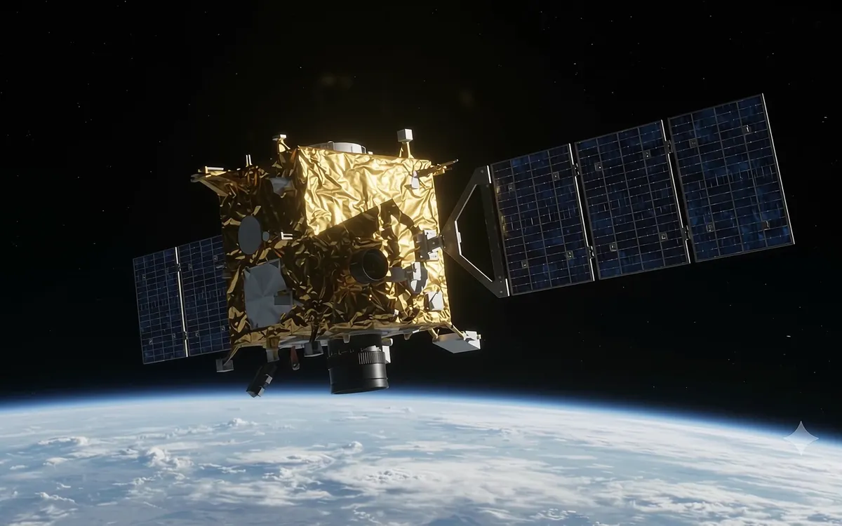
Satellite tasking & archives
30–50 cm optical tasking, SWIR/VNIR alteration mapping, InSAR displacement, 1–2 m DEM/DSM.
- 0.3 m
0.3 m
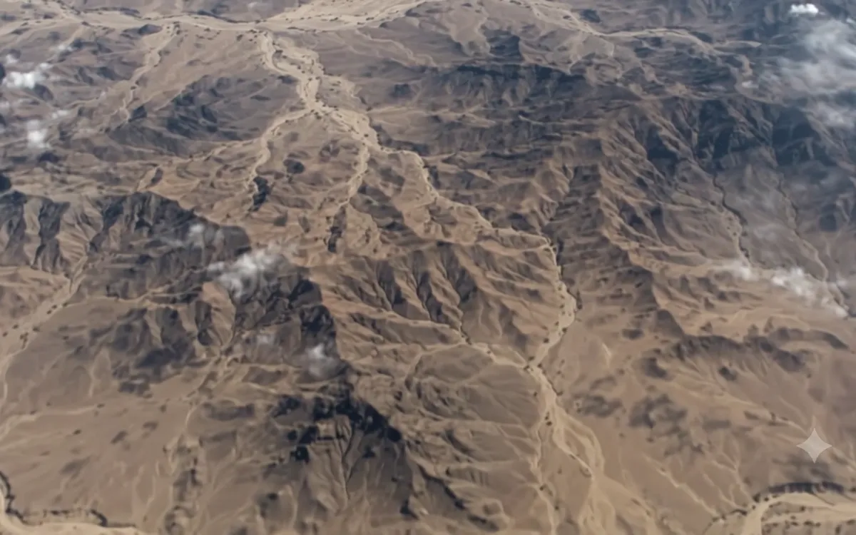
Field instruments, buy or lease
Deep PI/VLF detectors, portable XRF, GPR, ERT, cesium magnetometers, RTK GNSS kits.
- 12.5 m
12.5 m
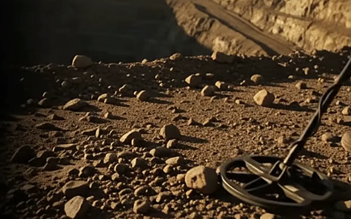
Survey & exploration consulting
Groundwater exploration and borehole siting, deposit vectoring, concession due diligence.
- 48.0 m
48.0 m
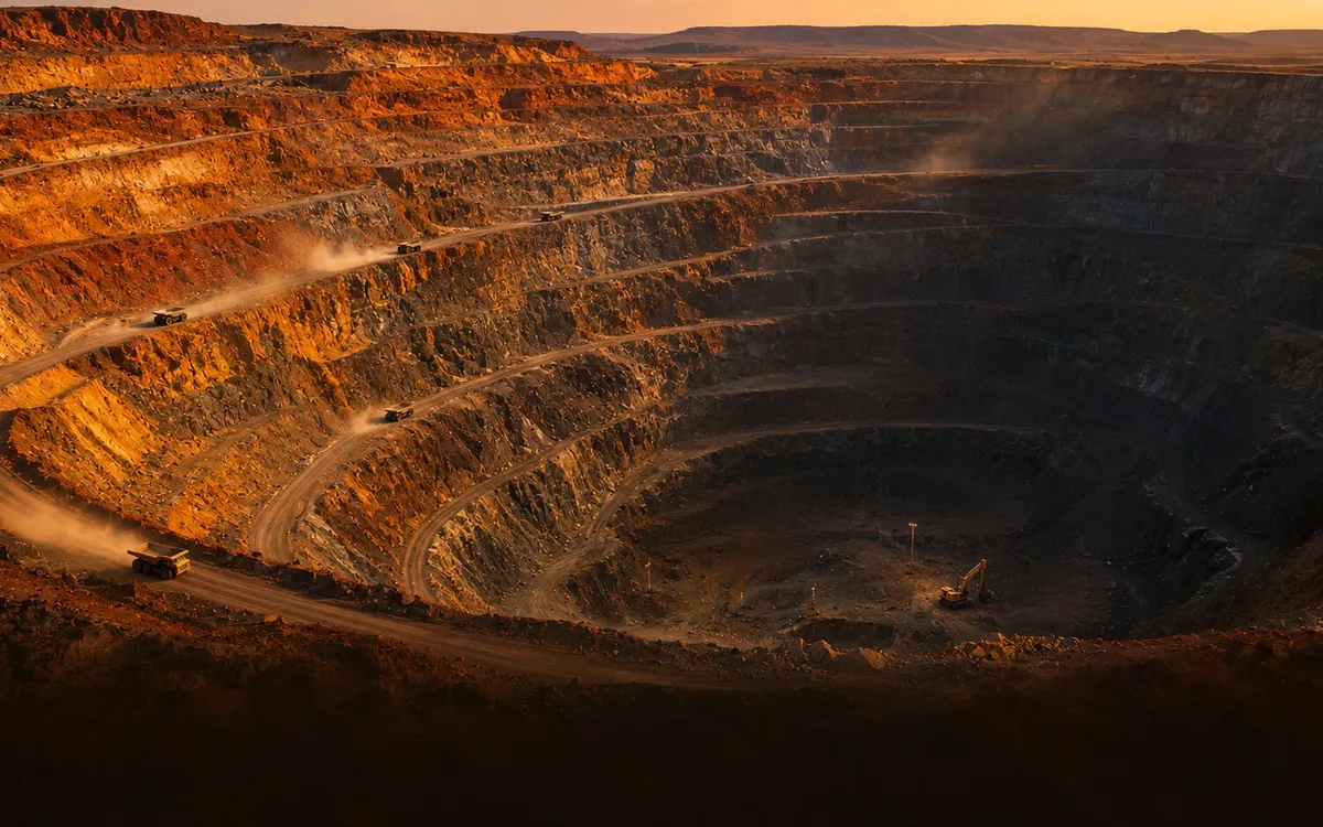
Inversion & GIS software
3D geophysical inversion, automated alteration classification, concession GIS on ZK-Geoverse.

Who we work with
- Geologists
- Mining companies
- Prospectors
- Drilling contractors
- Civil engineers
How to work with us
Company details
- Company
- Zaminkaw
- Legal name
- To be added
- Address
- To be added
- Phone
- To be added
- To be added
- +91 00000 00000
Planning a programme?
Tell us the target, the terrain and your timeline, and we'll specify and quote it in one place.