

Part 1 of 5
Satellite
Optical, multispectral and radar imagery, licensed from archives or tasked for your area.
Chapter 1 of 5
It starts in orbit.
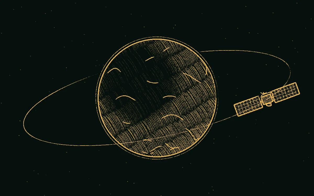
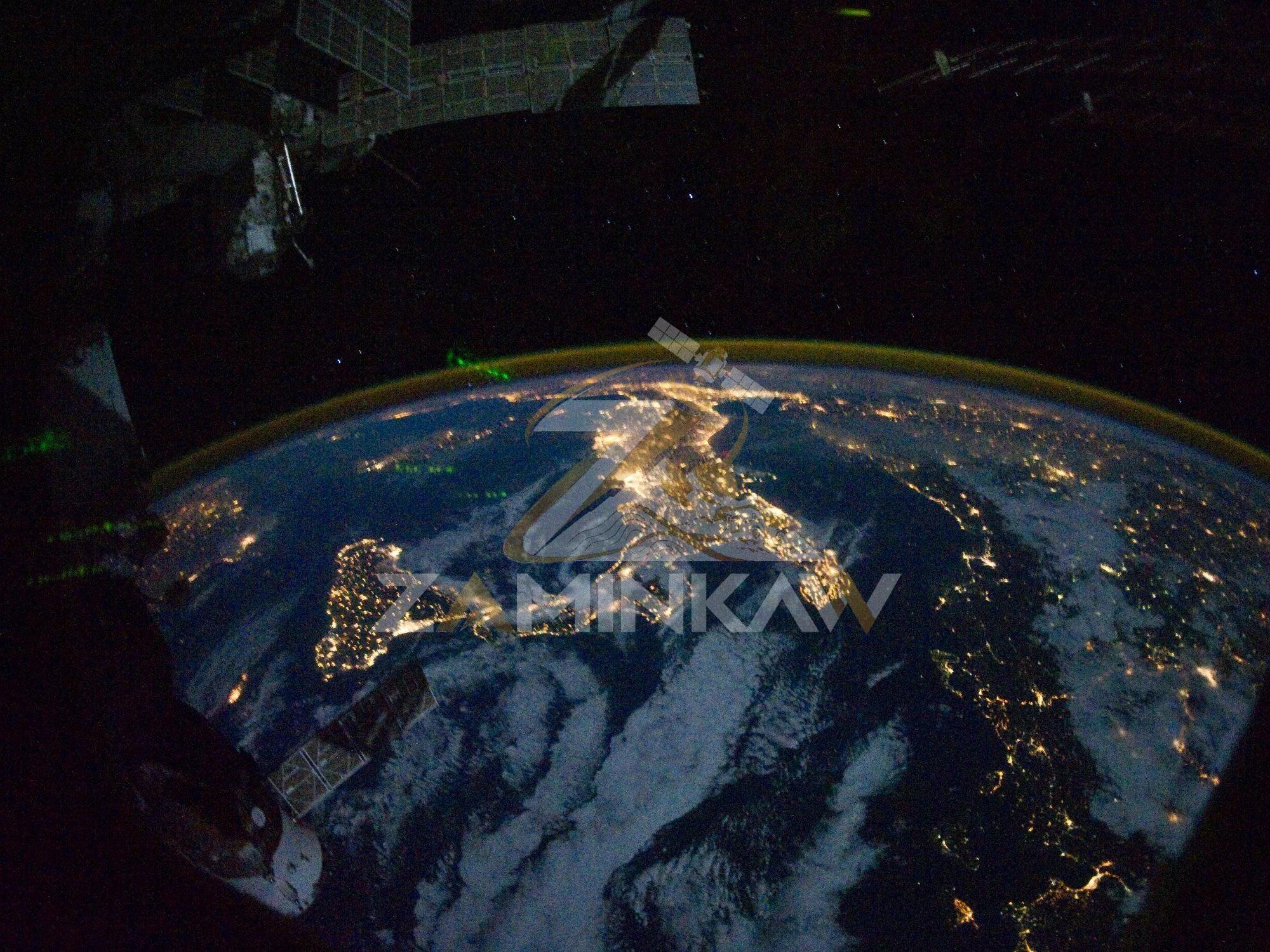
Satellites circle the Earth day and night, imaging the ground below. Archives hold years of those passes, and new ones can be tasked for your area.
- The satellite. Solar arrays power it, and a sensor records the ground below.
- Its orbit. The path it follows round the Earth, day and night.
- Repeat passes. Each orbit adds to an archive of the same ground over time.
Somewhere down there is your ground. The satellite only needs to know where to look.
Chapter 2 of 5
One pass over your ground.
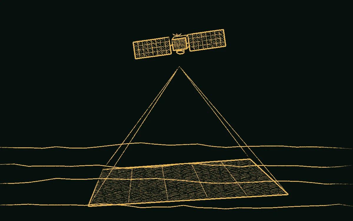
Tell us the area, the resolution and the time window. The imagery comes from an archive or from a new pass.
- Field of view. The width of ground the sensor sees on one pass.
- Your area. Given as a place name, coordinates or an area in km².
- Resolution. The smaller each ground cell, the finer the detail in the image.
The picture comes back. To the eye it may look like bare rock, but the sensor saw far more than that.
Chapter 3 of 5
Light the eye can't see.
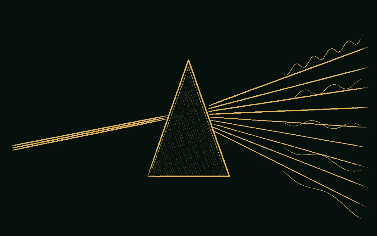
Multispectral and hyperspectral sensors split the light coming off the ground into many bands, from visible through to shortwave infrared.
- Reflected light. Sunlight bouncing off the ground back up to the sensor.
- Splitting the light. The sensor separates it into narrow bands.
- Visible bands. The colours we can see.
- Infrared bands. Invisible to the eye, and where many minerals show most clearly.
Now every patch of ground has many readings instead of one, and the rock starts to tell its story.
Chapter 4 of 5
Minerals give themselves away.
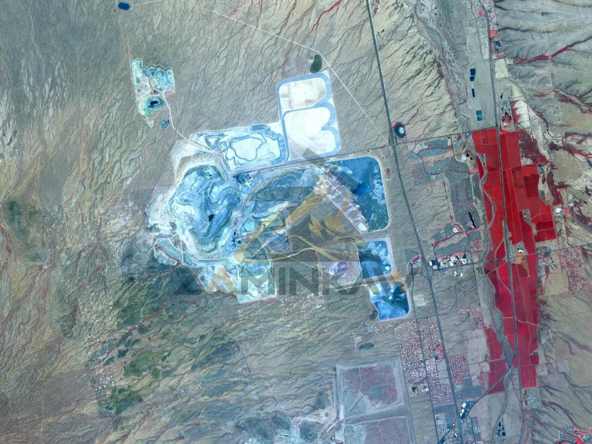
Each mineral reflects those bands in its own way. The altered rock around a deposit shows up as a pattern, before anyone sets foot on site.
- Background rock. Ground the hot fluids never changed.
- Outer halo. Rock lightly changed by fluids that once moved through it.
- Inner zone. The strongest change, closer to the source.
- Target. Where to look next. A pattern shows promise, and only the ground can prove it.
A pattern isn't a plan yet. It has to become something you can take into the field.
Chapter 5 of 5
A map you can act on.
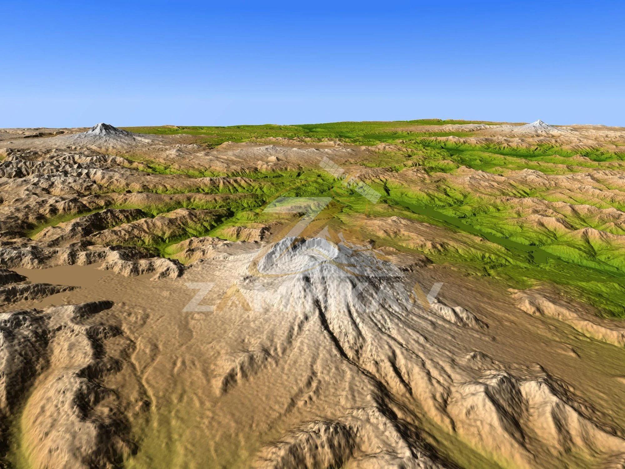
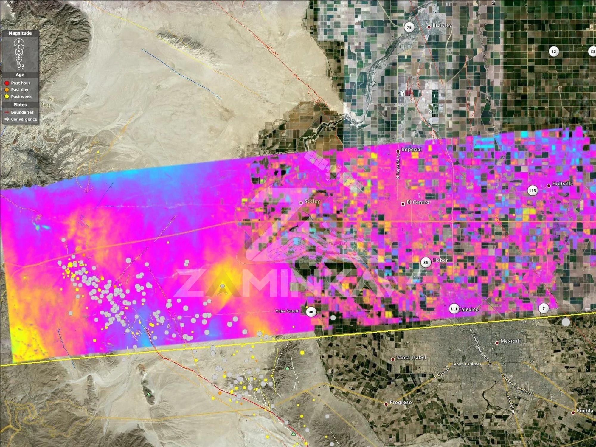
You receive imagery, alteration maps, terrain models or displacement data, ready to plan the next step on the ground.
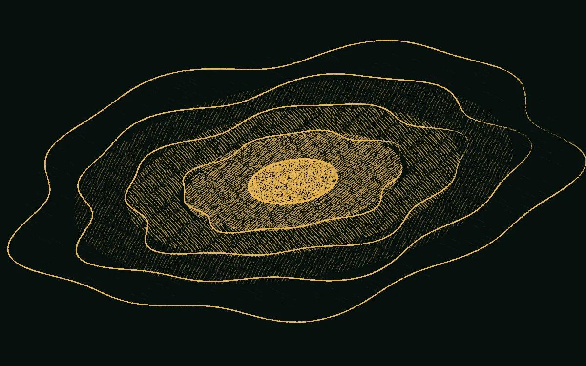
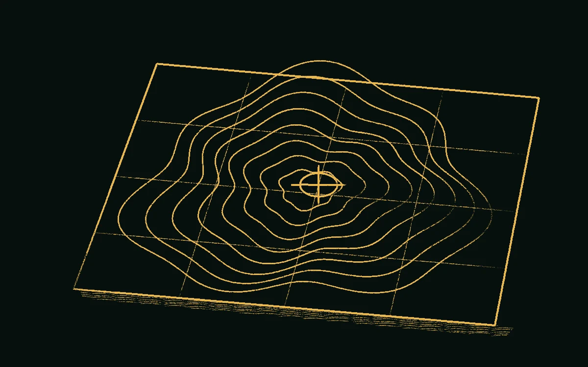
- Contours. Each line joins ground of the same height, from a terrain model.
- Map grid. Ties every point to real-world coordinates.
- Next step. The spot chosen for work on the ground.
Try a remote ground scan
Pick a spot on the map and run a radar-style scan to see what might lie beneath it, with an approximate depth and a 3D view.
Results are estimates, not survey data. This tool is provided by Geo Vision VR3 (dafin.online). Its readings are not measured on site and can be wrong, so always confirm with a field survey or a detector before you dig. Talk to us about a real survey.
What we supply for this
Talk to a specialist
Describe the site, the target and the timeline. We reply with a plan and a price.
Next in the story